this post was submitted on 14 Aug 2023
98 points (100.0% liked)
Map Enthusiasts
5005 readers
29 users here now
For the map enthused!
Rules:
-
post relevant content: interesting, informative, and/or pretty maps
-
be nice
founded 2 years ago
MODERATORS
you are viewing a single comment's thread
view the rest of the comments
view the rest of the comments


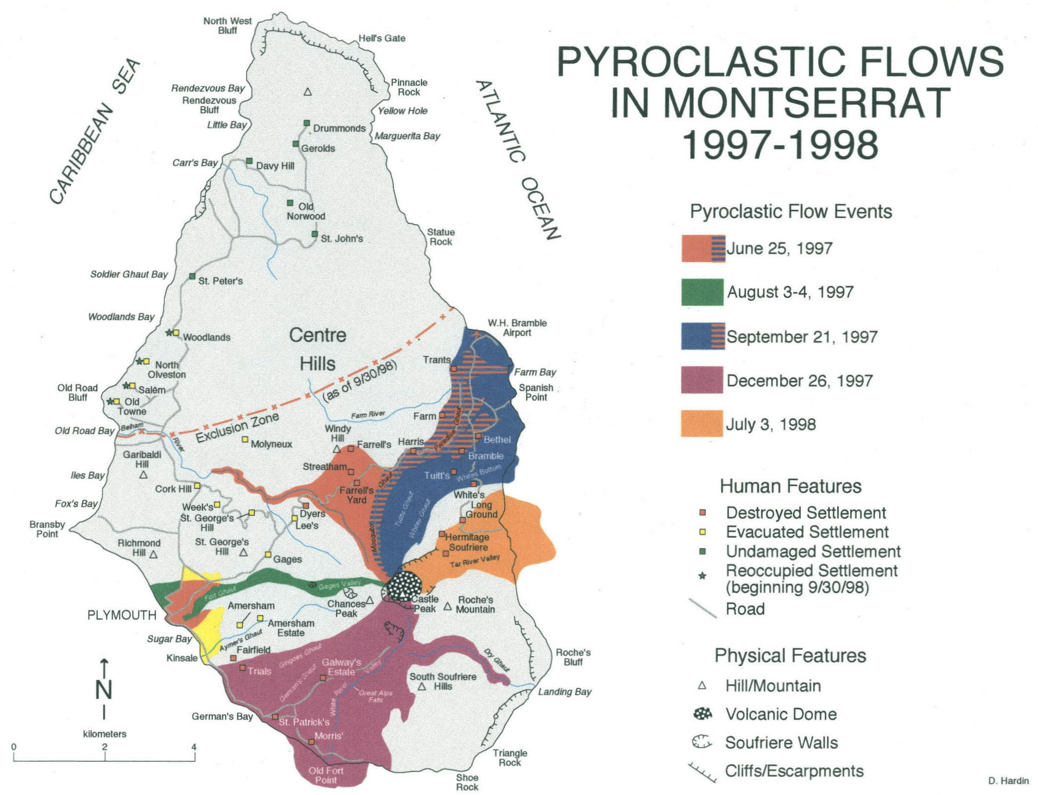
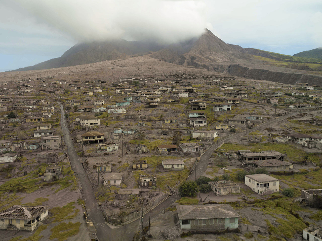
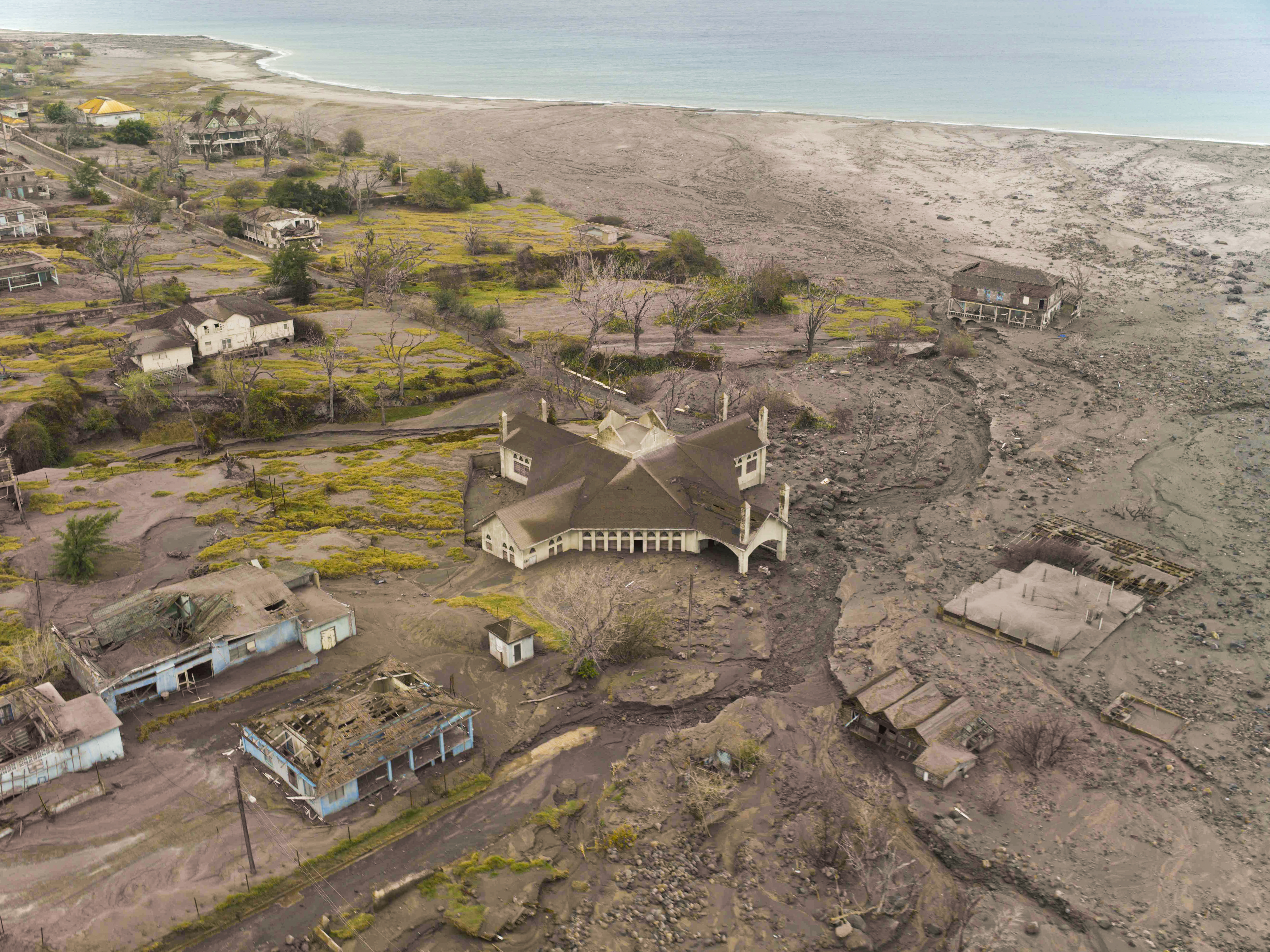
I've been on numerous Caribbean cruises and never heard of anyone even mention the island in passing. If you check it out on Google Maps you can really see the devastation.