OpenStreetMap community

4887 readers
2 users here now

Everything #OpenStreetMap related is welcome: software releases, showing of your work, questions about how to tag something, as long as it has to do with OpenStreetMap or OpenStreetMap-related software.

OpenStreetMap is a map of the world, created by people like you and free to use under an open license.

Join OpenStreetMap and start mapping: https://www.openstreetmap.org/.

There are many communication channels about OSM, many organized around a certain country or region. Discover them on https://openstreetmap.community/

https://mapcomplete.org/ is an easy-to-use website to view, edit and add points (such as shops, restaurants and others)

https://learnosm.org/en/ has a lot of information for beginners too.

founded 5 years ago
MODERATORS
76
74
submitted 6 months ago* (last edited 6 months ago) by neurospice to c/[email protected]


The whole site is down and I can't upload any changesets. It doesn't appear maintenance related.

You can see some stats here:

https://prometheus.openstreetmap.org/d/5rTT87FMk/web-site?orgId=1&from=now-1h&to=now&var-instance=%24__all&refresh=1m

https://en.osm.town/@osm_tech/113654874274344902

Hopefully this is not another purposeful attack on OSM.

Edit: Site is up now, but the database is read-only. See: https://en.osm.town/@osm_tech/113656639378201391

Edit 2: Everything may be operational as of Tuesday evening (Europe)

Edit 3: Everything's back.

77
78
 
 
79
80


cross-posted from: https://lemmy.ml/post/22847797

Osmand doesn't appear to be able to locate street addresses. Like if I input something like "123 4th Street" all it can do is offer some cross streets, which may be miles away from my intended location.

Is there a way to augment it's data so street addresses work? Maybe there's a service I can add?

Similarly, it doesn't know the names of many businesses.

81
82
83


I just discovered the project “Every Door” which allows you to edit elements for OpenStreetMap in the blink of an eye.

The project is a simple mobile app written in Flutter and is also opensource under ISC license.

84
12
submitted 7 months ago* (last edited 7 months ago) by [email protected] to c/[email protected]


New OSM based Map Website.

We use open data from OSM.org , a platform with over a million volunteers world wide, updating the map, roads, locations etc in their area. This includes any shops.

Hopefully it keeps alive and does not die (like similar Qwant Maps)

85
95
submitted 7 months ago* (last edited 7 months ago) by [email protected] to c/[email protected]


I moved all pictures created with MapComplete and hosted on Imgur to our Panoramax instance. You can read a bit more about the process and some discoveries here

86


Just wrote a little blog and made a video about this to hopefully make it easier for folks to figure this out. I've looked it up a few times throughout the years and it was always a little tricky to find.

https://blog.rayberger.org/how-to-add-a-brand-preset-to-openstreetmap

87
88
89
90
91


The #OpenStreetMap Foundation's Local Chapters and Communities Working Group (LCCWG) is looking for volunteers to help improve the OSMF Affiliation Models!

We are looking for:
🕵‍♀️ researchers
🙌 coordinators
🎤 facilitators

If you are interested to join and have the time, please comment on the community forum thread ▶️ https://community.openstreetmap.org/t/call-for-volunteers-help-improve-the-osmf-affiliation-model-with-lccwg/121298

Cc @kateregga1 @seav @openstreetmap @[email protected]

92
93
94
95


Of the 1971 voters in this election, 740 cast ballots. Craig Allan, Maurizio Napolitano, Laura Mugeha, and Héctor Ochoa Ortiz are the winners after counting the ballots using Scottish STV.

96


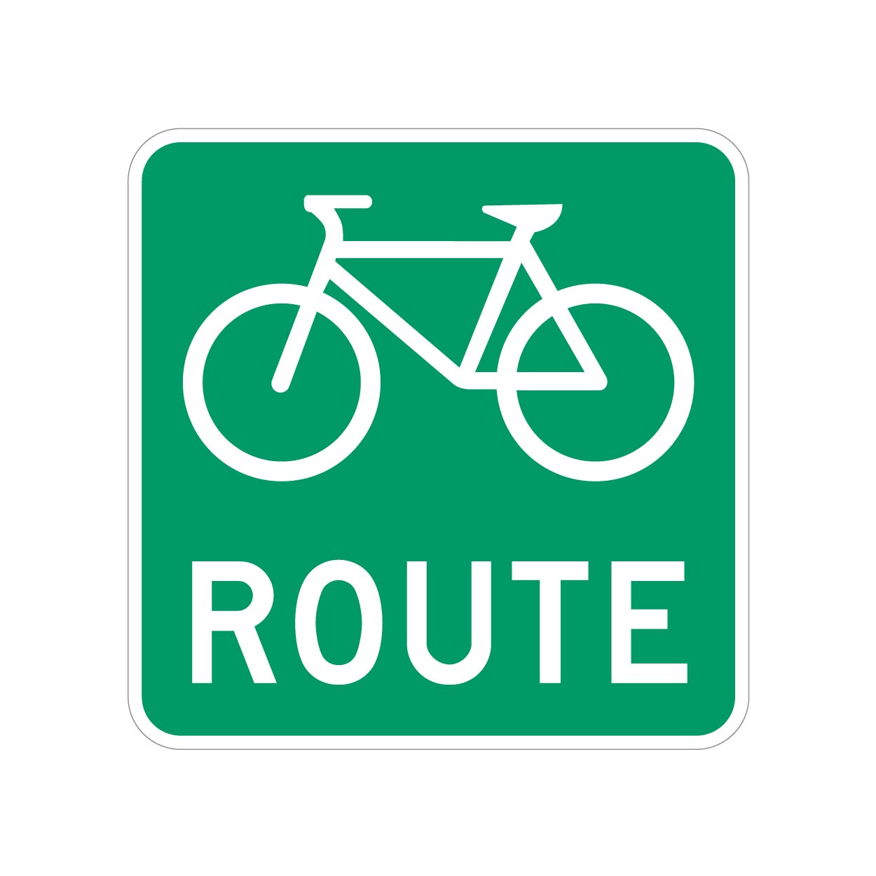
We have bike routes all over, and they are signed with something as shown.

But most of these will have a bike lane or sharrows along with the Bike Route signs.

However, I ran into one road that doesn't, it's just signed.

What's the best way to tag these roads? I don't want to cause confusion, but these unpainted (but signed) roads do actually lead to/from better cycling infrastructure, so they should be known.

UPDATE: Thanks for all the input, guys. Having looked into this further, I'm comfortable using the designated tag, at least for this specific road.

My municipality is a bit bipolar with their application of these signs. Most are signed as bike routes with toad markings, but a few are signed only.

Because these "bike routes" connect to more significant cycling infrastructure, I think its more than valid to tag them as “designated” as opposed to "yes" (which would be pretty much every road).

To add even more confusion to the situation, the official Cycling infrastructure map for my municipality seems to not include several areas that have both bike route signs and road markings, so i will ask them if the data is just lagging or if it needs to be updated.

So, unless there's a critical reason why the "designated" tag shouldn't be used in this context, I will leave it at that.

97


I'm on Street Complete and I'm trying to differentiate between Concrete, Concrete slabs, and concrete lanes. There's a walkway that's just a normal concrete walkway, I didn't know there were so many designations for this.

98
99
100
15
submitted 8 months ago* (last edited 8 months ago) by [email protected] to c/[email protected]


I know that is at first a geo database but has anyone build a better web ui where i can plan routes with public transport just like on google maps

Edit: I have found one which works for me: Mapy.cz it isn't open source but that wasn't a requirement

view more: ‹ prev next ›